Palo Verde Neighborhood History
Until the early 1930s, the one-mile-square area now called Palo Verde Neighborhood was decidedly rural in nature, characterized by uneven desert terrain, scrubby creosote bushes, thorny mesquite and palo verde trees, and water-carved arroyos. It was outside Tucson city limits, and didn’t even rate inclusion on a Sanborn Fire Insurance Map.
Interested in reading other historical accounts during the early 1900s? Take a peek at Through Our Parent’s Eyes - History and Culture of Southern Arizona.

Library of Congress, Geography and Map Division, Sanborn Maps Collection.
See additional information and historical maps of Pima County here.
Eventually dubbed “Camden-Palo Verde Neighborhood,” the remote landscape nonetheless attracted a certain type of adventurous soul. Prominent residents included land speculator and home builder John Murphey, who later paid a key role in developing the affluent Catalina Foothills. Also residing here was his business partner – noted Swiss architect Josias Joesler, who designed some of Tucson’s most beloved buildings, including St. Philip’s in the Hills Episcopal Church and historic Broadway Village Shopping Center.
For his part, Joesler built at least two houses on Fairmount Street. One, meant for his own family’s use, still stands near Jones Boulevard. (Interestingly, one of the Joesler-built residences eventually became home to psychiatrist Dr. L. Cody Marsh – a pioneer in the concept of group therapy for the mentally ill. An oral history housed at the Arizona Historical Society described his practice more matter-of-factly as “a clinic for disturbed children of wealthy people.”)
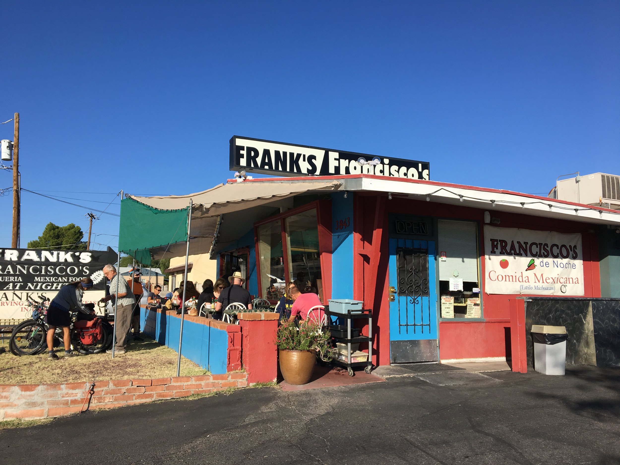
Today, the neighborhood – bounded by Grant Road to the north, Speedway to the south, Alvernon to the east, and Country Club to the west – is primarily residential, with homes in various architectural styles, primarily “poetic adobe,” pueblo revival and mid-century red-brick ranch style. Businesses (primarily those along Speedway Boulevard and Grant Road) tend to be modern in design. Multiple-occupancy apartment buildings, townhomes and a hotel appear on the east side of the neighborhood.
Like much of the city, development accelerated in Palo Verde Neighborhood following the end of World War II. In the mid-1940s, the former Desert Sanatorium became the larger Tucson Medical Center. Affordable suburban homes were built to accommodate returning military veterans, East Coast transplants and Tucson’s growing population. And Tucson Unified School District selected the neighborhood to be site of the city’s third high school.
From the start, Catalina High School – opened in 1957 – was controversial: Due to the red-brick edifice’s modern architectural design, state-of-the-art campus and steep price tag, the local press dubbed it “Disneyland.”
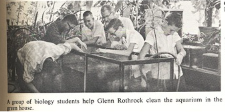
The following photos are from the Catalina High School - Class of 1960 blog which includes a scanned copy of the 1960 yearbook and other trivia and special content from past grads.

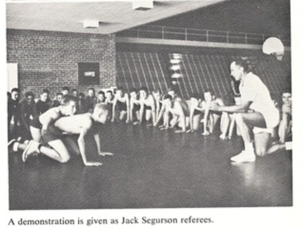
Over the years, the educational facility now known as Catalina High Magnet School would find itself at the center of controversy. In 1991 and 2012, Tucson Unified proposed its closure, but community outcry has so far saved Catalina – which now partners with the community and makes its considerable amenities – tennis courts, a skate park, running track, softball field and Olympic-size swimming pool – open to the public.
Today, Palo Verde Neighborhood is a mix of owner- and renter-occupied structures, and features churches of various denominations, ethnic restaurants, small businesses and private schools, as well as an arthouse cinema and one-acre desert “pocket park.”
It does face considerable challenges, but also boasts a wide selection of housing options in convenient midtown location, with easy access to the University of Arizona, Banner-University Medical Center, Pima Community College, Tucson Medical Center and historic Tucson Botanical Gardens.